We map and measure Michigan land from the ground and from the air. On foot, we photograph a property and record GPS points and notes. Drone flights with regular and thermal (infrared) cameras show what is there today. Satellite and aerial photos show how it has changed over the years, and laser-scan elevation data (LiDAR) from the U.S. Geological Survey shows the shape of the land and the height of its trees.
We bring those sources together on one map, alongside public data on soils, wetlands, water, and land cover. The result answers a practical question about a field, a woodlot, a building, or a parcel.
Why Us
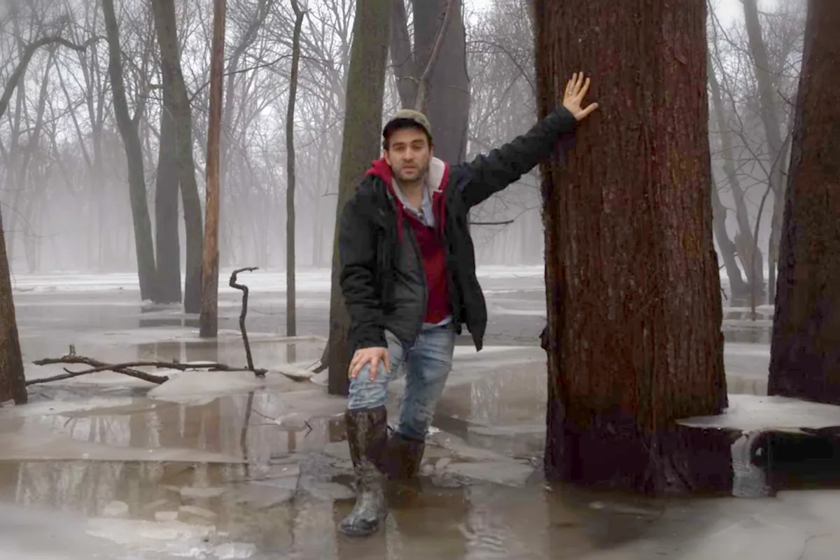
We walk the land, fly our own drones, and process our own regular and thermal imagery, then combine it with satellite, laser-scan, and public map data. When a line, pipeline, or facility is proposed nearby, we can document the properties along the route and carry that record straight into a routing and siting analysis. The people who collect the data are the people who analyze it.
What We Offer
Drone Mapping & Thermal Imaging
FAA Part 107 flights with regular and infrared cameras to map fields, woodlots, terrain, and buildings, from old barns to old foundations.
Property Documentation & Photography
Aerial and ground photos, video, GPS points, and notes that record a property's condition on a given date, with the owner's consent.
Satellite & Aerial Imagery
Free satellite imagery (Sentinel-2) and USDA aerial photos (NAIP), compared over time to show what changed on the ground, and when.
LiDAR & Terrain Analysis
One-meter elevation data from USGS laser scans, used to measure slope, relief, landforms, and profiles.
Agriculture
Fields mapped by drone, and acres of cropland, pasture, and grassland measured from national land cover maps.
Forestry
Tree heights measured from laser scans, clearing spotted in satellite imagery, and woodlots mapped by drone.
Geospatial Work in Practice
Drone Mapping of Farm, Forest, and Structures
Part 107 drone flights over private and public land with regular and infrared cameras, mapping old barns and foundations, terrain relief, fields, and woodlots.
Tree Canopy and Clearing Along a Corridor
Tree heights measured from USGS laser scans along a proposed pipeline corridor, with satellite imagery used to check for recent clearing.
Land Cover Along a Transmission Route
Cropland, pasture, grassland, forest, wetlands, and wet soils measured along each of seven proposed routes for a 345 kV line in central Michigan.
How We Engage
Frequently Asked Questions
- Do you need my permission to fly a drone over my property?
- We ask first, every time. Before we walk, photograph, or fly over private land, the owner fills out a one-page consent form that says what we may do, when, and how images may be used. Permission can be narrowed or withdrawn at any time. Flights are made by an FAA Part 107-certificated remote pilot.
- Where do you fly?
- In Michigan. Drone flights, photography, and site visits are all done in person by our own Part 107 remote pilot. Mapping from satellite, laser-scan, and public data can cover land anywhere in the United States.
- How long does it take?
- Most projects take 7 to 10 days from first site visit to finished maps. When a deadline is close, rush delivery in 24 to 48 hours is available.
- What can drone imagery show that satellite imagery cannot?
- Detail and timing. Free satellite imagery is good at showing change across a landscape over months and years. A drone captures one property in far finer detail, on the day you need it, and can carry a thermal camera.
- Do you work on farmland and forest land?
- Both. We map fields and woodlots by drone and measure cropland, pasture, and forest from national land cover maps. We also measure tree heights from laser scans and spot clearing in satellite imagery.
- What data do you use besides your own flights?
- Public data that anyone can check: USGS laser-scan elevation (LiDAR), Sentinel-2 satellite imagery, USDA aerial photos (NAIP), national land cover maps, USDA soil surveys, wetland and floodplain maps, and parcel records.
Related Services
Related Insights
An independent, reproducible route and environmental analysis of ITC's seven published alternatives for the Oneida–Sabine Lake 345 kV line in central Michigan — scored on the Act 30 factors with and without House Bill 5940's freeway credit, stress-tested across a million weightings, and resolved township by township. Revised September 2026; full 41-page report and explainer video.
Michigan Solar, Wind, and Battery SitingA visual guide to PA 233: size thresholds, the local and state processes, setbacks, project commitments, and the May 2026 court ruling. Includes a detailed report and two videos.
Property Access Consent Form
A one-page fillable PDF giving permission to walk, photograph, or fly a drone over your property. Fill it in, save it, and email it back.