When a utility or developer proposes a power line, pipeline, solar or wind farm, or data center, the people who will live with it usually see only the applicant's analysis. We give Michigan landowners, townships, and organizations an independent one. We show where each alternative runs, what it crosses, and how the alternatives compare on the factors the decision-maker must weigh.
We collect the evidence and we analyze it. In the field, with each owner's permission, we document properties along a route with drone and thermal imagery, ground photographs, and GPS-tagged notes. At the desk, we combine that field record with public maps and records. We test how much the results depend on judgment calls, and we publish our methods so anyone can check the work.
Why Us
Most routing and siting studies are paid for by the utility or developer. Ours are independent. We read the filings, rebuild the analysis from public data and our own field work, and show every step. Landowners, townships, and commissions can then see what a proposal would cross and how the alternatives compare.
We Collect the Data and Analyze It
Public maps only go so far. When a case turns on what is actually on the ground, we go and record it ourselves, then carry that record straight into the analysis.
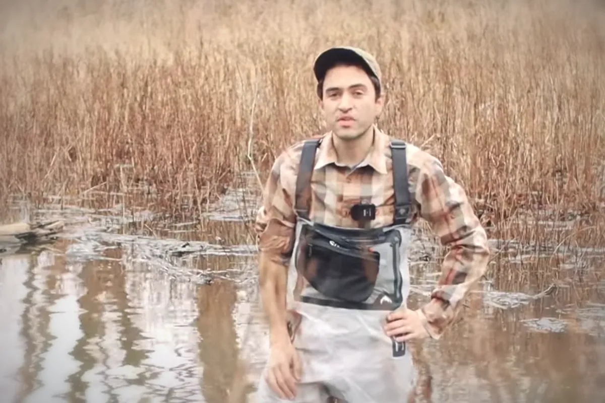
In the field
Document the Route
- Drone mapping by an FAA Part 107-certificated pilot
- Thermal infrared and optical aerial imagery
- Ground photographs and video of crossings, homes, fields, and woodlots
- GPS-tagged notes and measurements
- Each owner's written consent before we set foot or fly
Geospatial & Remote Sensing →
At the desk
Analyze the Alternatives
- The applicant's filings, read closely and checked against public records
- Wetland, soil, water, floodplain, and protected-land maps
- Laser-scan (LiDAR) terrain and tree heights; satellite checks for recent clearing
- Scores on the factors the law requires, retested under many weightings
- Maps, a written report, and data others can reproduce
Landowners can grant access with our one-page property documentation consent form (fillable PDF).
What We Offer
Routing & Siting Studies
Every alternative scored on the factors Michigan law requires: Act 30 for power lines, Act 9 for pipelines, PA 233 for solar, wind, and storage.
Environmental Constraints Mapping
Wetlands, wet soils, streams, floodplains, wellhead protection areas, and protected land along each alternative, with the source of every map layer.
Sensitivity Analysis
Route rankings retested under many different weightings, to show which conclusions hold up and which rest on a judgment call.
Farmland, Forest & Homes
Acres of cropland, pasture, and forest each route crosses, the tree cover it would clear, and the homes nearby.
Field Documentation Along a Route
Drone, thermal, and ground photographs of properties, crossings, and conditions along a proposed route, taken with each owner's consent.
Proceeding Support
Analysis written for Michigan Public Service Commission (MPSC) cases, township boards, and public comment, with expert testimony when a case needs it.
Routing & Siting in Practice
Transmission Route Analysis
An independent analysis of the seven published routes for a proposed 345 kV line in central Michigan, scored on the Act 30 factors. It covers wetlands, floodplain, wet soils, protected land, and nearby homes. Cropland, pasture, grassland, and forest acreage are measured separately. The rankings were stress-tested across a million weightings and broken down township by township.
Pipeline Corridor Review
For a proposed gas pipeline, we measured tree heights along the corridor from USGS laser scans and checked satellite images for recent clearing. We also screened wetlands, slopes, streams, and water wells along the proposed path.
Data Center Evidence Review
An independent evidence review of a proposed data center's tax abatement application in Saline Township, built from the public record.
Public Siting Guides
Plain-language guides to how Michigan decides where solar, wind, storage, pipelines, transmission lines, and data centers go, and where residents and local officials can take part.
How We Engage
Frequently Asked Questions
- Can you help a landowner or township respond to a proposed line, pipeline, or facility?
- Yes. We show where a proposal runs, what it crosses, and how the alternatives compare on the factors the decision-maker must weigh. We also show how much that comparison depends on judgment calls, and we publish our methods so every party can reproduce the results.
- Can you document conditions on properties along a proposed route?
- With each owner's permission, we can. We photograph and fly over properties along the route, recording crossings, homes, fields, woodlots, and drainage with drone, thermal, and ground imagery and GPS-tagged notes. That field record goes straight into the route analysis.
- What data do you use?
- Three kinds: the applicant's own filings, our field documentation, and public data that anyone can check. The public data includes federal and Michigan wetland maps, USDA soil surveys, FEMA floodplain maps, national land cover maps, USGS laser-scan elevation (LiDAR), satellite and aerial imagery, and parcel records.
- How do farmland and forest count in a route analysis?
- We measure cropland, pasture, grassland, and forest separately, so a route through farm fields and one through woodlots are not treated as the same. Routes through forest are charged for clearing woodland; routes through cropland are charged for converting farmland.
- Where do you work?
- Our field work, including drone flights, photography, and site visits, is in Michigan, and our siting work centers on Michigan law and the MPSC. Analysis built from public records can cover projects elsewhere; our published work includes a stadium siting study in Illinois and federal permitting legislation.
- How long does it take?
- Most projects take 7 to 10 days from start to finished report. When a deadline is close, such as a comment period or a hearing date, rush delivery in 24 to 48 hours is available.
- Why test so many weightings?
- Any ranking of routes depends on how much weight each factor gets, and reasonable people disagree. We retest the ranking under a very large number of weightings (a million in our transmission analysis). That shows which routes rank well almost no matter the weights, and which rankings hinge on one judgment call.
Related Services
Related Insights
An independent, reproducible route and environmental analysis of ITC's seven published alternatives for the Oneida–Sabine Lake 345 kV line in central Michigan — scored on the Act 30 factors with and without House Bill 5940's freeway credit, stress-tested across a million weightings, and resolved township by township. Revised September 2026; full 41-page report and explainer video.
Michigan Act 30 and the MPSCWho chooses a transmission route, who pays for a large load, and how residents can participate. A visual guide to Act 30 and the MPSC's broader work, with a detailed report, two videos, case explorer, and primary sources.
HB 5940: Power Lines Along Michigan's HighwaysMichigan House Bill 5940 would end the rule that power lines along limited access highways must be buried, but four public bodies still have to act before any overhead line goes up, with no deadline for any of them and no new say for neighbors or townships. The change word for word, the path from law to line, a county table, the Senate package, and what township boards, county officials, and property owners in communities such as Williamstown and Locke can do before the MPSC's October 21, 2026 comment deadline.
Michigan Pipelines: Natural Gas, Petroleum, and Line 5How Act 9 and Act 16 divide pipeline siting, how safety oversight works, and what the July 2026 Line 5 ruling requires. Includes original documents, a detailed report, and two videos.
Michigan Solar, Wind, and Battery SitingA visual guide to PA 233: size thresholds, the local and state processes, setbacks, project commitments, and the May 2026 court ruling. Includes a detailed report and two videos.
The Oracle Tax Abatement Application in Saline TownshipAn independent evidence review of Oracle's $43.1 billion tax abatement application under Michigan Public Act 198: the statutory six-month commencement rule, the county's own permit record, the consent judgment, principal findings, and recommended actions — revised July 18, 2026 after the Township Board's July 14 and July 17 votes, with the full 46-page report available for download.
Mason and Vevay Township: The Data Center Annexation ProcessFollow the owner petition, the distinction between PA 425 and annexation, the state's legal-sufficiency review, and the public hearing stage. Includes original records and a detailed report.
Property Access Consent Form
A one-page fillable PDF giving permission to walk, photograph, or fly a drone over your property. Fill it in, save it, and email it back.